
Stage 01 of 4
Site Survey & Data Collection
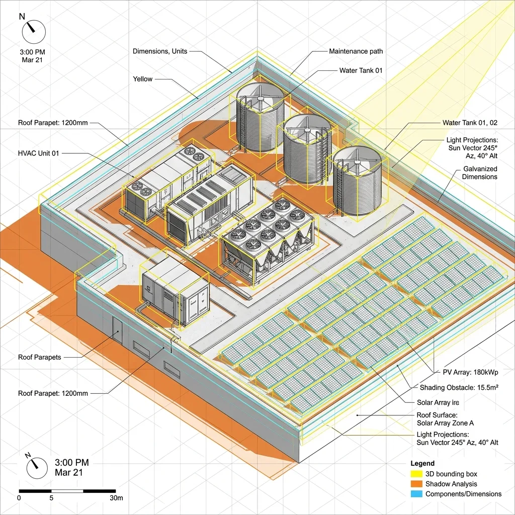
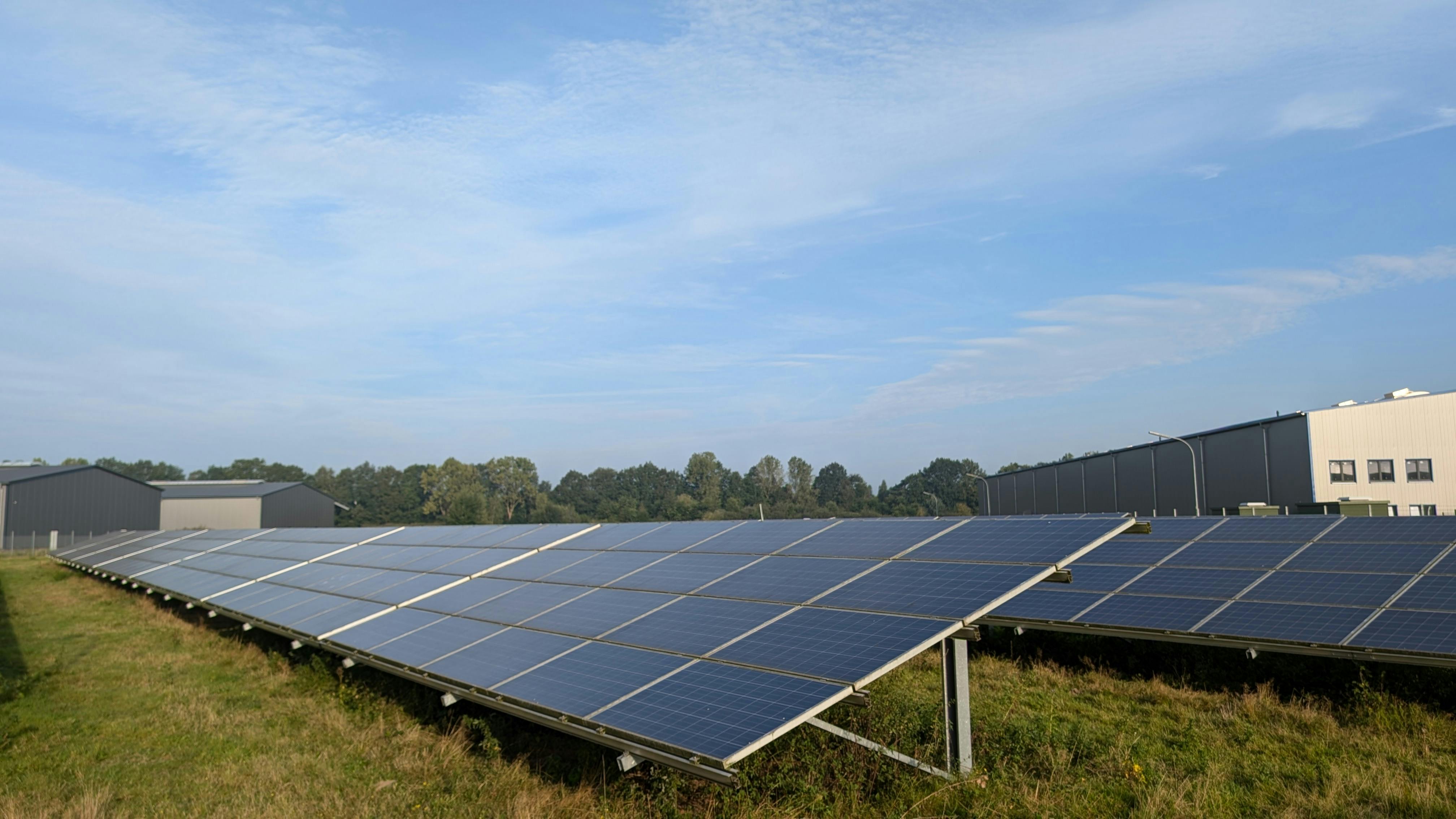
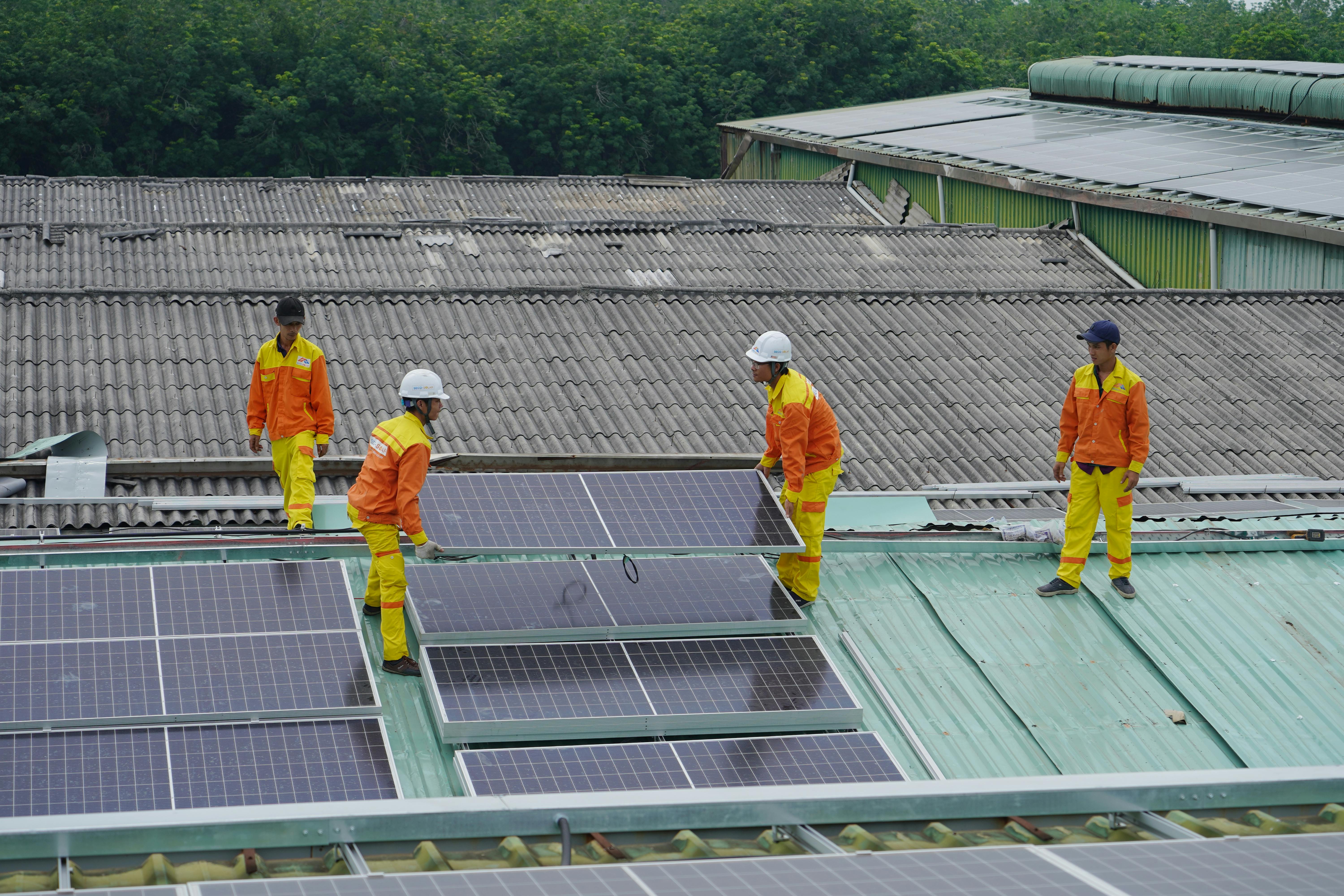
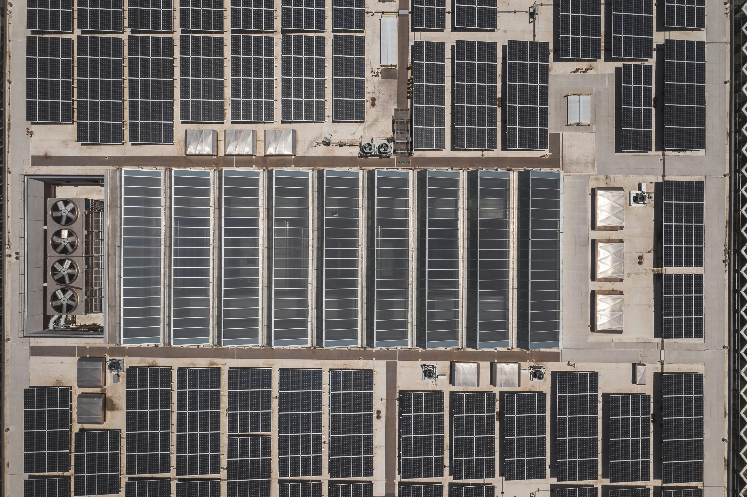
We start with accurate site inputs roof or land measurements, orientation, existing structures, and shading obstructions (water tanks, parapets, adjacent buildings, or trees). This can come from your site survey report, drone imagery, or satellite data, depending on project scale. Accurate inputs at this stage are what separate a usable 3D model from a rough visual mockup.